Tracking the location of a smart device is what “location data” means. The data extracted by doing this is critical to the growth of the Site Planning Industry. These practices and processes are constantly changing as new technologies come out. Also, thanks to new data sources, it is now possible to find the websites. These can help seasonal, temporary, and mobile businesses make more money. Location-based business models are essential to many businesses because they use real-time info. So, these companies make more money. This is possible by making the best use of location data. It has a good effect on the success of a company.
Understanding Location Data

Do you want to understand how these companies work? You need to learn more about the idea of “location data.” In a broad sense, it is information about the actual locations of things. These are phones, tablets, or essential places like buildings or tourist spots. The Latitude and Longitude style is often used to give the location’s coordinates. Also, other factors, such as height or altitude, can be included. This will provide data consumers with a clearer picture of where their data is located. People usually think that location data only comprises GPS.
However, there are many different kinds of location data. How data is collected affects the quality and quantity of the collected data. It directly affects how valuable and useful the data is for a business.
Different tools are used to collect data. Here are some examples:
Global Positioning System (GPS)GPS gets latitude and longitude coordinates from a device. It links to a satellite. These are like a cell phone, a car navigation system, or a fitness trackers. The gadget in question gets signals from the satellites. When the signals arrive, it can figure out where it is. When this is done right, it makes data that is very exact and correct. But it has a flaw that shows up when you’re inside or where you can’t see many GPS stars. When this happens, a GPS signal isn’t as good as it could be.
Wi-Fi
The Wi-Fi gadgets can easily send out probes. It helps to find access points or routers by using Wi-Fi. These probes can be used to find out how far away the gadget is from the access point.
The accuracy of Wi-Fi location data depends directly on the Wi-Fi network it is based on. These also make sure that the data is precise and correct. It is even when the device is inside. When GPS and cell towers aren’t working, or their signals are blocked, devices can use this technology to find their location more accurately.
Point Of Sales
POS data is information about sales made at a point of sale (POS). This data includes what was bought and how much was paid. It also includes how it was paid for, which could be helpful.
The problem with this method is that since POS data is spread out, it is hard to compare data from different sources. POS’s restricted use and scope are also apparent because POS data only includes information about customers buying something in-store. But it only provides information about people who have just looked around the store without purchasing anything.
This is the tool’s weakness.
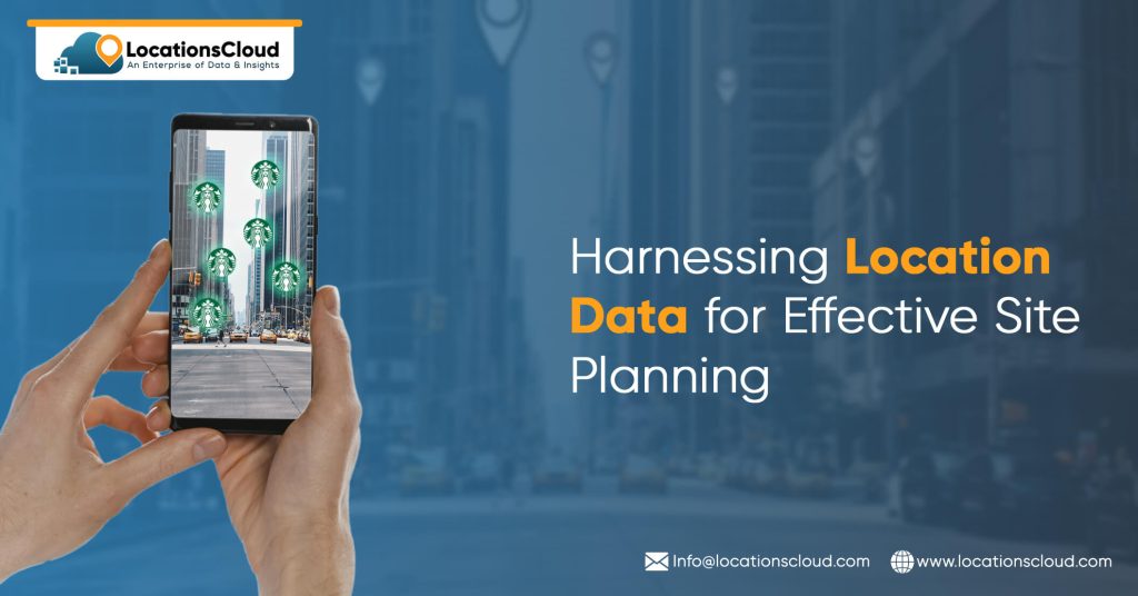
Utilizing Location Data in Retail Site Planning

Location data helps in site planning in the following ways:
- Location data and analytics platforms give insights to multinational retailers. It helps those who want to move to a new location. The insights are about how people move around and where they move to. This lets the companies map customer profiles and data. It helps to be as successful as possible in the new location. Information about customer traffic, buying habits, visits to competitors, and other things can give you valuable insights. It can help you determine where, when, and how the targeted customers buy the goods. With this high-quality data, merchants can keep a substantial market share using site selection and laser-targeted marketing. It can also be used to create the best customer profile.
- Using location data also helps retailers figure out where their target buyers live. Thus, they can guess what they will do. The best way for retailers to use the data is to make decisions based on the data. It is also based on what they think will happen. Again, this task requires making choices about shop placement, hours of operation, product placement or price, and geo-targeted ads that protect the retail business by looking ahead to the market. It also helps them choose the best place to run their business once they’ve figured out who their target customers are, what goods they like, how often they shop, how they want to shop, etc. In this situation, stores with physical locations depend heavily on location intelligence (LI) to better understand the size of the market.
Enhancing Real Estate Site Planning with Location Data
Location data can also help improve site planning for real estate in the following ways:
- Real estate companies can find possible places to build by using location data from reliable sources like government records, mobile devices, and satellite pictures. This data can be based on how easy it is to get to public transportation, how many people live in an area, and how people behave. With this information, companies can decide where to put their money and time wisely and look for ways to make money.
- Using location data, real estate companies can learn about market trends, such as changes in the desire for specific properties or how people live. The company could use location data to target areas based on demand, cost, and the tastes of different age groups. This information could help businesses develop marketing plans and change their goods and services to make them more appealing to their target audience.
- Real estate companies can improve their business and get the most out of their investments by checking the occupancy rates, keeping track of upkeep needs, and making predictions about future demand.
Leveraging Location Data for Urban Planning
In urban planning, location data can be used to make predictions or see trends in mobility using the best visualization tools. Using granular geofences also helps to learn about mobility at the local level, which standard methods like surveys can’t do. Using location data, urban planners and transport economists can look into the efficiency and usefulness of public transportation networks and suggest ways to improve them. Looking at how people move around now, they can also predict how visitors’ needs will change.
Benefits and Considerations of Location Data in Site Planning

So, the following areas can gain from Location Data in Site Planning:
- Retail
- Banking
- Transport and Logistics
- Hospitality
- Cloud Kitchens and Restaurants
- Healthcare
But in this case, you also need to think about things like:
- When judging a place, demographic information like population, age group, income, and education level should be considered.
- You must evaluate the rival business and do a competitive study of how well they do what they do.
- To figure out what to do next, you need a good plan for the future that looks at growth and makes predictions.
- Finally, budget and logistics must be carefully considered before deciding on a place.
Conclusion
Locational data revolutionizes the business scene, and various sectors can benefit from the data extracted. However, to make the best use of it, the firms must make a proper plan after in-depth research and weighing the pros and cons to ensure maximum revenue generation.